Updated: 5 February 2025
The Catchment scale land use profiles are a series of interactive dashboards and a Web Map of land use data assembled using the Catchment scale land use of Australia - Update December 2023 version 2 by commonly used regions.
How to use the profiles dashboards
Follow these steps to select and view land use information for your region:
- Select a state or territory
- Select a region (not needed for state and territory dashboard)
You can also
- Click features to filter – click again to remove filter
- Hover over elements for more information
- Hover over map for legend
- Download data or image
- Share
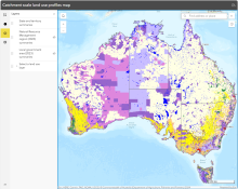
Figure 1. Use top drop-down filters to select state or territory and then region (region not needed for state and territory dashboard).
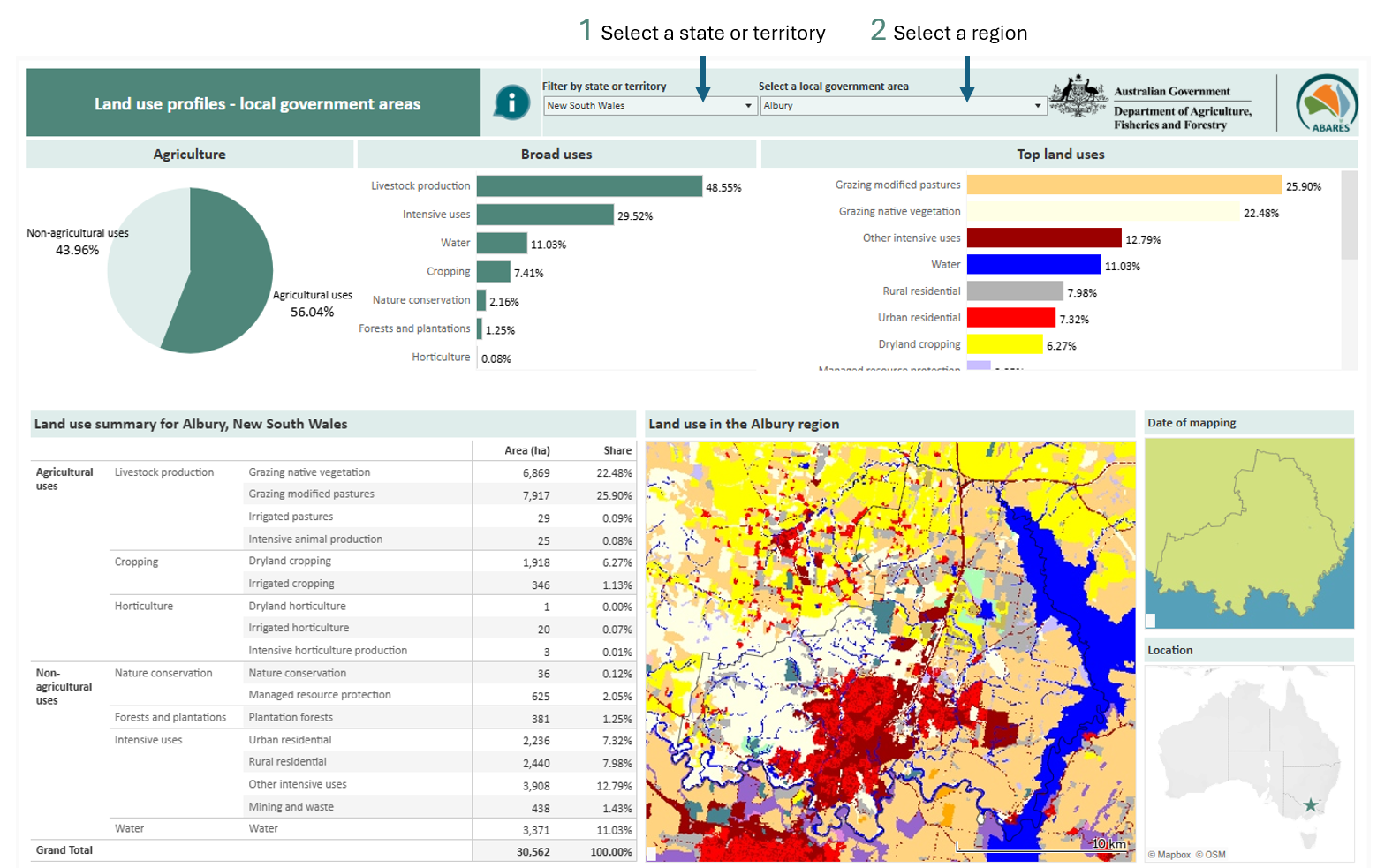
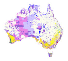
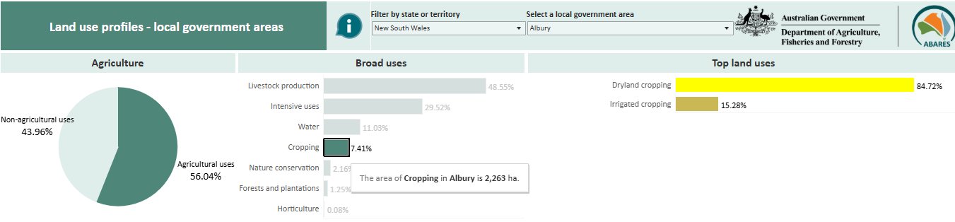
Figure 2. Click a chart slice or bar to filter the dashboard to show only that land use. Click again to see all the data. This example is filtered to cropping.
Regions
- States and territories (ABS 2021)
- Natural Resource Management regions (DCCEEW 2023)
- Local government areas (ABS 2023)
Land uses
Land uses in the profiles Catchment Scale Land Use of Australia – Update December 2023 version 2 are mapped according to the Australian Land Use and Management Classification version 8 (ABARES 2016).
- Land in transition are areas where the land use is unknown and cannot reasonable be inferred from the surrounding land use. Land has been (or is likely to be used for) agriculture or plantations.
- Plantation forests includes commercial and other plantations. See the ABARES plantation statistics update for plantation data.
Extent
The Catchment scale land use data presented covers Australia's states and mainland territories and close off-shore islands, but not external territories. For example; land use is not shown for Christmas Island, Cocos (keeling) Island, Lord Howe Island, Norfolk Island, nor Boigu and Saibai islands in the Torres Strait.
- ABS 2021, Australian Statistical Geography Standard (ASGS) Edition 3 - Main Structure and Greater Capital City Statistical Areas, July
- ABS 2023, Local Government Areas, Australian Statistical Geography Standard (ASGS) Edition 3
- ABARES 2024, Catchment Scale Land Use of Australia – Update December 2023 version 2, Australian Bureau of Agricultural and Resource Economics and Sciences, Canberra, February, CC BY 4.0, DOI: 10.25814/2w2p-ph98
- ABARES 2016, Australian Land Use and Management Classification Version 8 (October 2016)
- DCCEEW 2023, Natural Resource Management regions, Department of Climate Change, Energy, the Environment and Water, August, CC BY 3.0
Summary data tables for each of the regions are also available for download on each dashboard page.
- State and territory Catchment scale land use data table [107KB .xlslx]
- Natural Resource Management Region Catchment scale land use data table [303KB .xlslx]
- Local government area Catchment scale land use data table [1.3MB .xsls]