Skip to main content Skip to main navigation Skip to search

Help for those affected by flood

Visit nema.gov.au.

Close
ABARES - Land use and management

Top navigation abares

  • Department
  • Ministers
  • Media Centre
Main menu

Main navigation ACLUMP

  • Land home
    Land home
  • About ACLUMP
    About ACLUMP
  • Land use
    Land use
  • Publications
    Publications
  • Data download
    Data download
  • Latest news
    Latest news
Department of Agriculture

Breadcrumb

  1. DAFF Home
  2. ABARES
  3. Land use and management
  4. Multi-Criteria Analysis Shell for Spatial Decision Support
  5. Australian national map layers

Secondary ACLUMP

  • Multi-Criteria Analysis Shell for Spatial Decision Support
    • MCAS-S tool
    • Australian national map layers
    • Quick Start Guide
      • 1. Introduction
      • 2. Set Up
      • 3. Input and Classification
      • 4. Composition and Comparison
      • 5. Building Criteria
      • 6. Reporting and Analysis
      • 7. Exporting
    • Preparing your own data
    • Updates
    • Disclaimer
    • MCAS-S-version-4

Australian national map layers

MCAS-S_datapack_screenshot.JPG
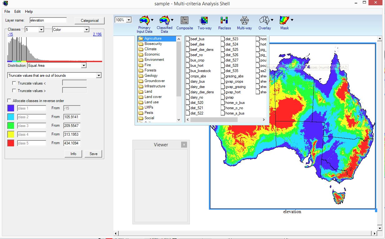
A convenient package of Australian spatial layers ready for use in MCAS-S is available covering a broad scope of interests including:

  • biophysical (vegetation, soil, terrain, water, climate,)
  • social (household, community and population characteristics)
  • economic (land use, agricultural commodity, income, land value, rate of return).

These raster data sets have been prepared from data provided by the Australian Bureau of Agricultural and Resource Economics and Sciences (ABARES), Australian Bureau of Statistics (ABS), Australian Electoral Commission (AEC), Australian National University (ANU), Bureau of Meteorology (BOM), Centre for Invasive Animal Solutions, Commonwealth Scientific and Industrial Research Organisation (CSIRO), Department of Agriculture Water and the Environment (now Department of Agriculture, Fisheries and Forestry and Department of Climate Change, Energy, the Environment and Water), Environmental Systems Research Hub, Geoscience Australia, and New South Wales government. 

The MCAS-S data pack is downloadable from data.gov.au:

  • 2022 - MCAS-S data pack (1 km)

Older versions of the map layers are also on data.gov.au and the Australian Natural Resources Data Library:

  • 2014 - MCAS-S data pack (1 km)
  • 2011 - MCAS-S data pack (2 km)
  • 2009 - MCAS-S data pack (5 km and 1 km)

Other data packs for specific locations within Australia include:

  • 2015 - Tasmanian Midlands and Australian Alps (hosted by National Environmental Research Program)​

Pages

  • MCAS-S ​Home
  • MCAS-S Tool
  • Australian national map layers
  • Preparing your own data
  • Updates
Thanks for your feedback.
Thanks! Your feedback has been submitted.

We aren't able to respond to your individual comments or questions.
To contact us directly phone us or submit an online inquiry

CAPTCHA
This question is for testing whether or not you are a human visitor and to prevent automated spam submissions.

Please verify that you are not a robot.

Skip

Footer

  • Contact us
  • Accessibility
  • Disclaimer
  • Privacy
  • FOI
Last updated: 03 January 2023

© Department of Agriculture, Fisheries and Forestry

We acknowledge the Traditional Owners of country throughout Australia and recognise their continuing connection to land, waters and culture. We pay our respects to their Elders past, present and emerging.